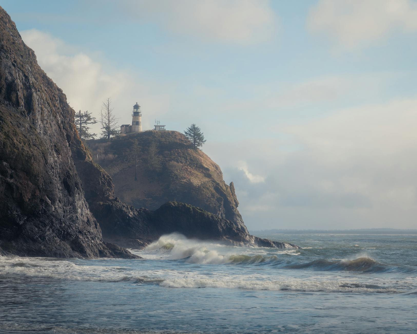
Lighthouse Park Vancouver is West Vancouver’s hidden coastal gem — 75 hectares of old-growth Pacific coast rainforest meeting dramatic granite cliffs over Burrard Inlet. The park is named after Point Atkinson Lighthouse (1912), still actively guiding ships through the harbor entrance. With towering Douglas fir over 500 years old, multiple ocean lookouts, and short-but-rewarding trails, Lighthouse Park is one of the best free family hikes in Metro Vancouver.
This guide covers the trail network, what makes Lighthouse Park’s old-growth special, where to find the best viewpoints, and how to combine with adjacent West Vancouver dining for a complete day.
Table of Contents
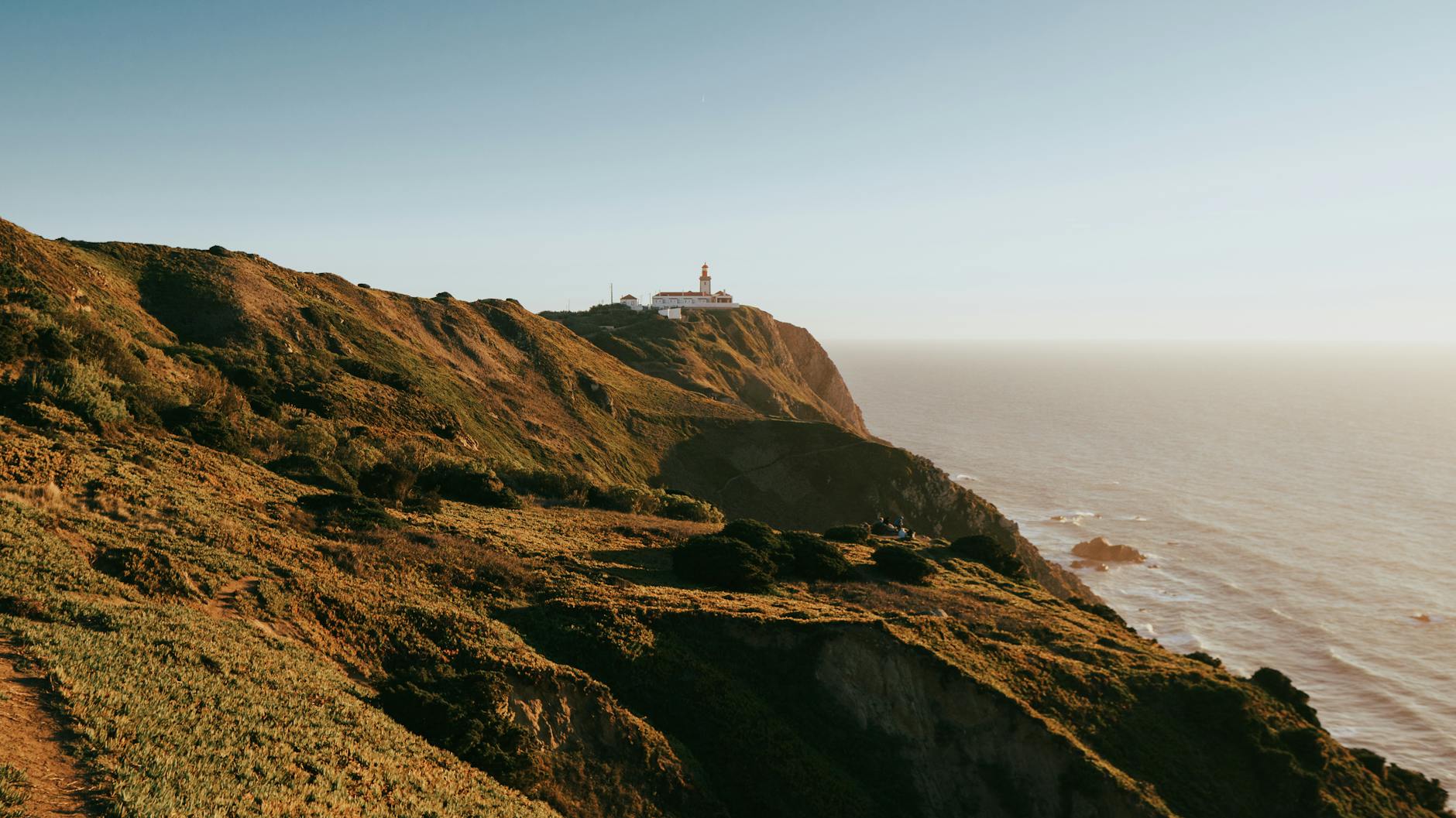
Lighthouse Park: Quick Facts
- Size: 75 hectares
- Location: West Vancouver, near Whytecliff Park
- Distance from downtown: 30-40 minutes by car
- Cost: FREE (no admission, free parking)
- Trail network: 6 km of trails
- Featured: Point Atkinson Lighthouse (1912), oldest active lighthouse on West Coast
- Old-growth: Douglas fir up to 500+ years old
- Best season: Year-round; spring/fall for fewer crowds

Getting There
By car: Lions Gate Bridge → Marine Drive → Beacon Lane. About 30-40 minutes from downtown.
Parking: Free at Beacon Lane lot; fills weekend afternoons. Overflow on Beacon Lane (free).
By transit: Bus 250 from downtown to West Vancouver Marine Drive; transfer to bus 253 to Beacon Lane. About 90 minutes total.
By bike: Lions Gate Bridge bike lane + Marine Drive (some hills); about 25 km round trip.
Old-Growth Forest
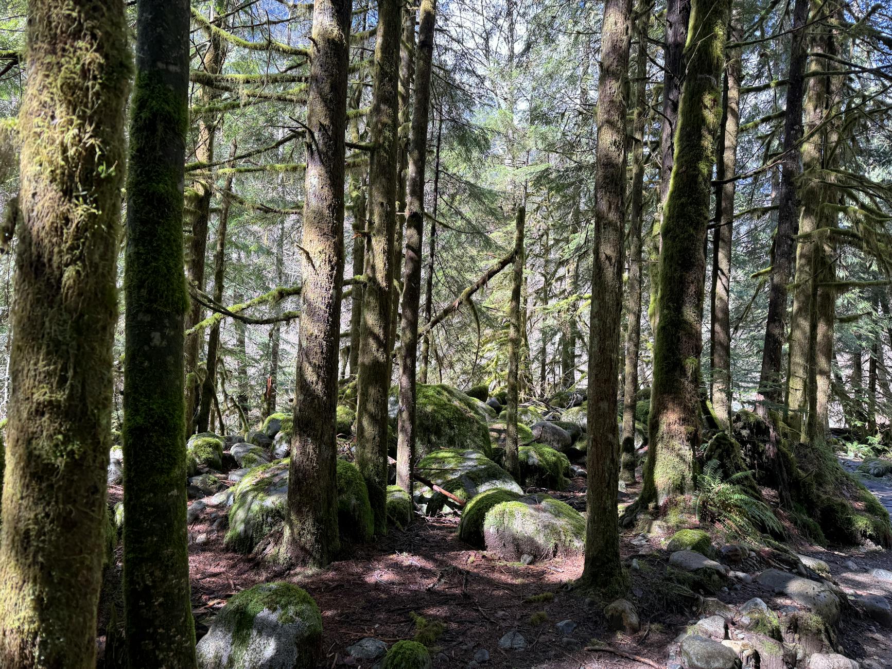
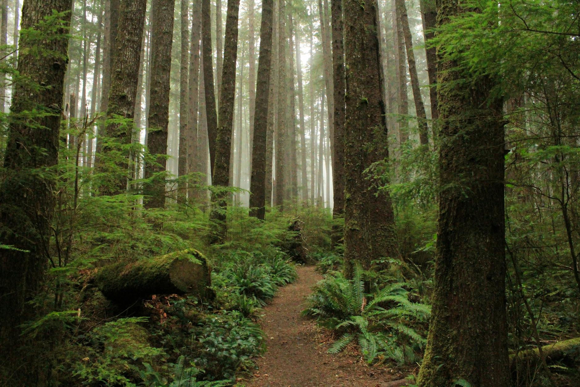
Lighthouse Park preserves one of Metro Vancouver’s most accessible old-growth Pacific coast rainforest stands.
Old-growth highlights:
- Douglas fir over 500 years old (some 600-800 years)
- Western red cedar specimens 300+ years
- Western hemlock 200+ years
- Some trees 70+ meters tall
Why this matters: Most coastal old-growth was logged during the early 1900s. Lighthouse Park’s 75 hectares of preserved old-growth is rare for a near-urban setting.
What to look for: Massive trunk diameters; fissured bark patterns; high canopies; old-growth fallen logs serving as nurse trees for new growth.
Point Atkinson Lighthouse
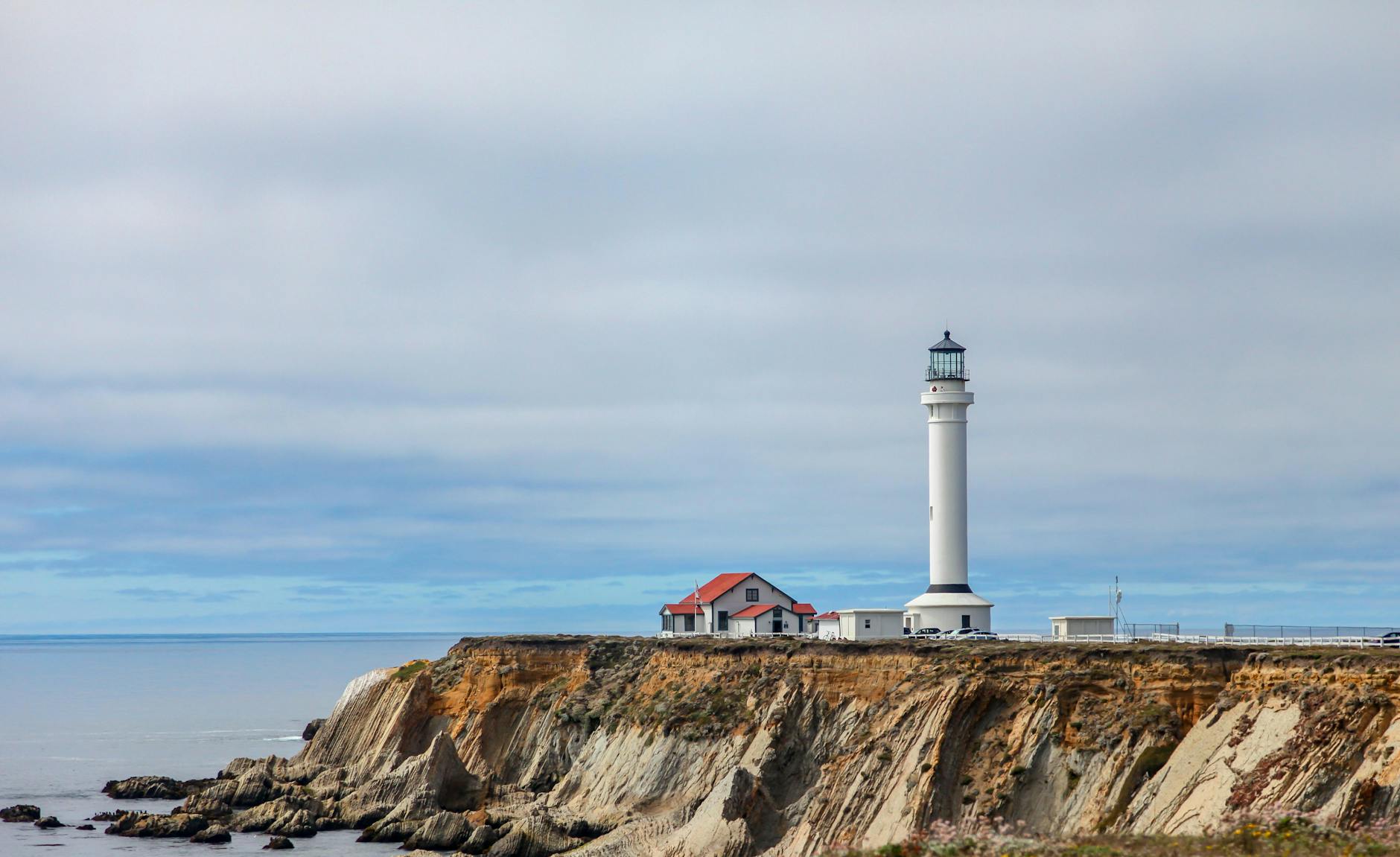
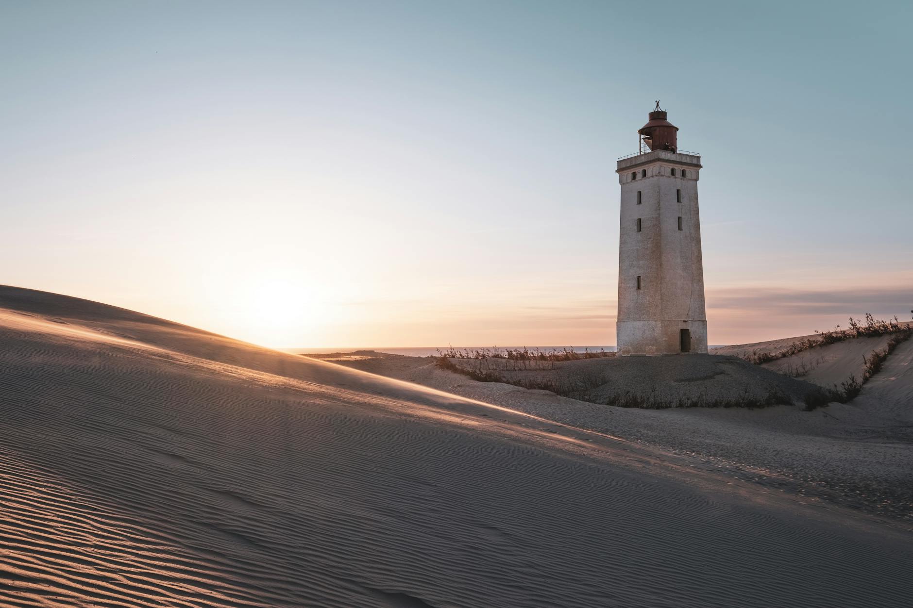
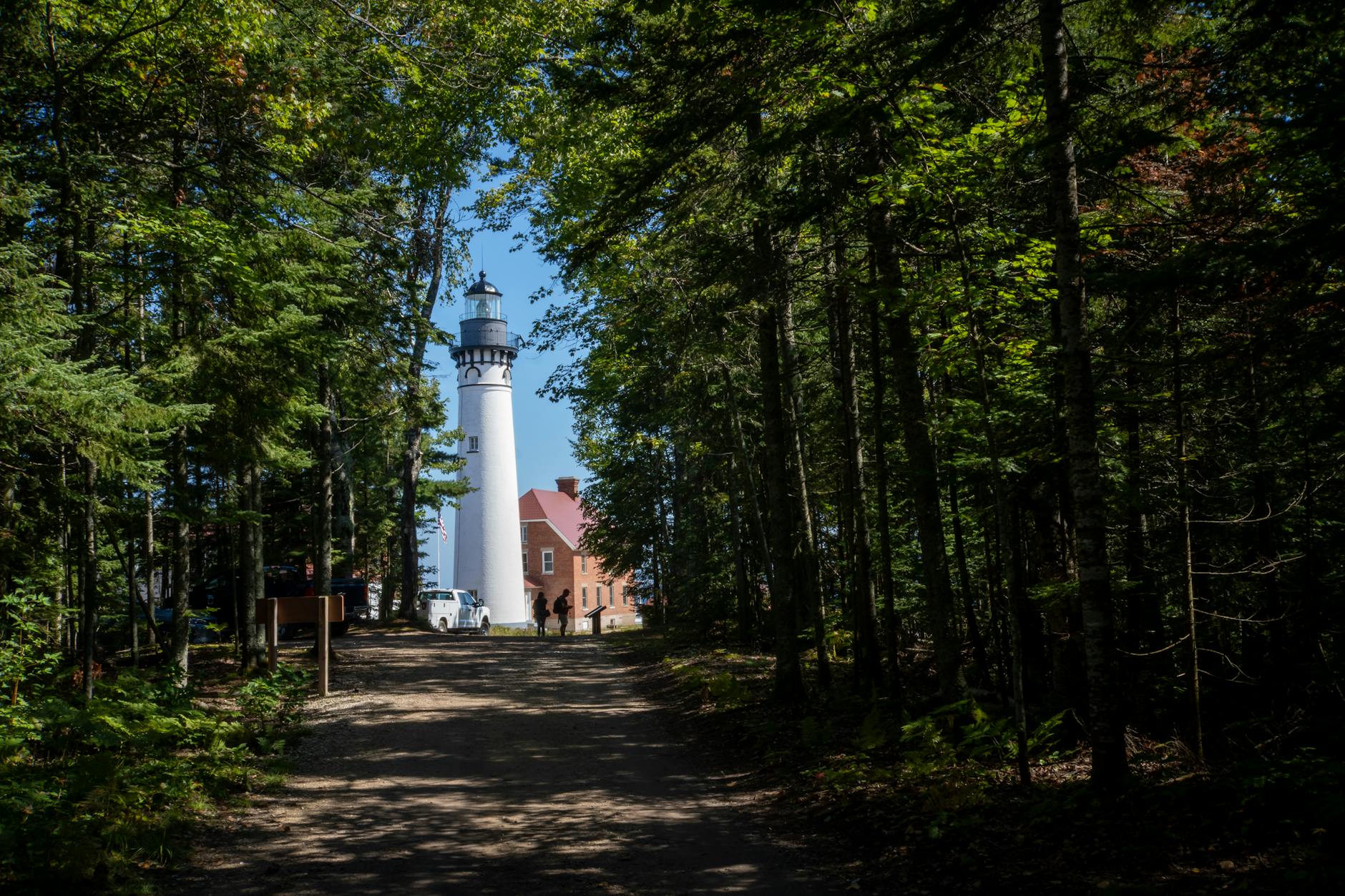
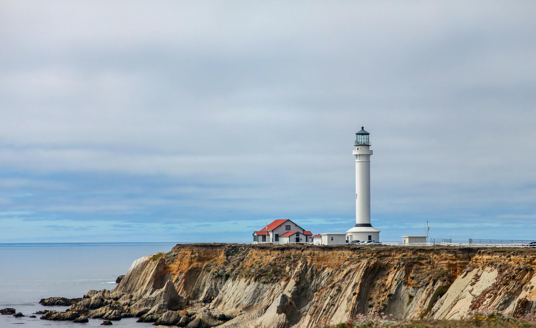
Point Atkinson Lighthouse is the centerpiece of the park.
History:
- Original light installed 1875
- Current concrete tower built 1912
- Automated 1996 (now unmanned)
- Still actively serves Burrard Inlet shipping
- National Historic Site since 1994
Visiting the lighthouse: Trail leads directly to the lighthouse. The lighthouse itself is closed to public interior tours, but you can walk around the exterior and adjacent rocky outcropping.
Photography: Iconic view of lighthouse with Burrard Inlet and downtown skyline beyond.
Best Trails
Lighthouse Loop (2 km, 1 hour): Main trail to lighthouse with several branches. Easy-moderate. Stair sections.
West Beach Trail (3 km, 1.5 hours): Branches off main trail to a quieter rocky beach.
Arbutus Trail (2 km, 1 hour): Specialty trail through arbutus tree groves (rare arbutus species).
East Beach Trail: Less-frequented eastern shoreline.
Combined trail loop (4-5 km, 2-3 hours): Hits lighthouse, both beaches, and arbutus zone.
Difficulty: Most trails easy-moderate with some root sections and a few stair sections. Stroller-passable on main trail; less so on side branches.
Best Viewpoints
Lighthouse viewpoint: Iconic shot of lighthouse with downtown Vancouver and harbor.
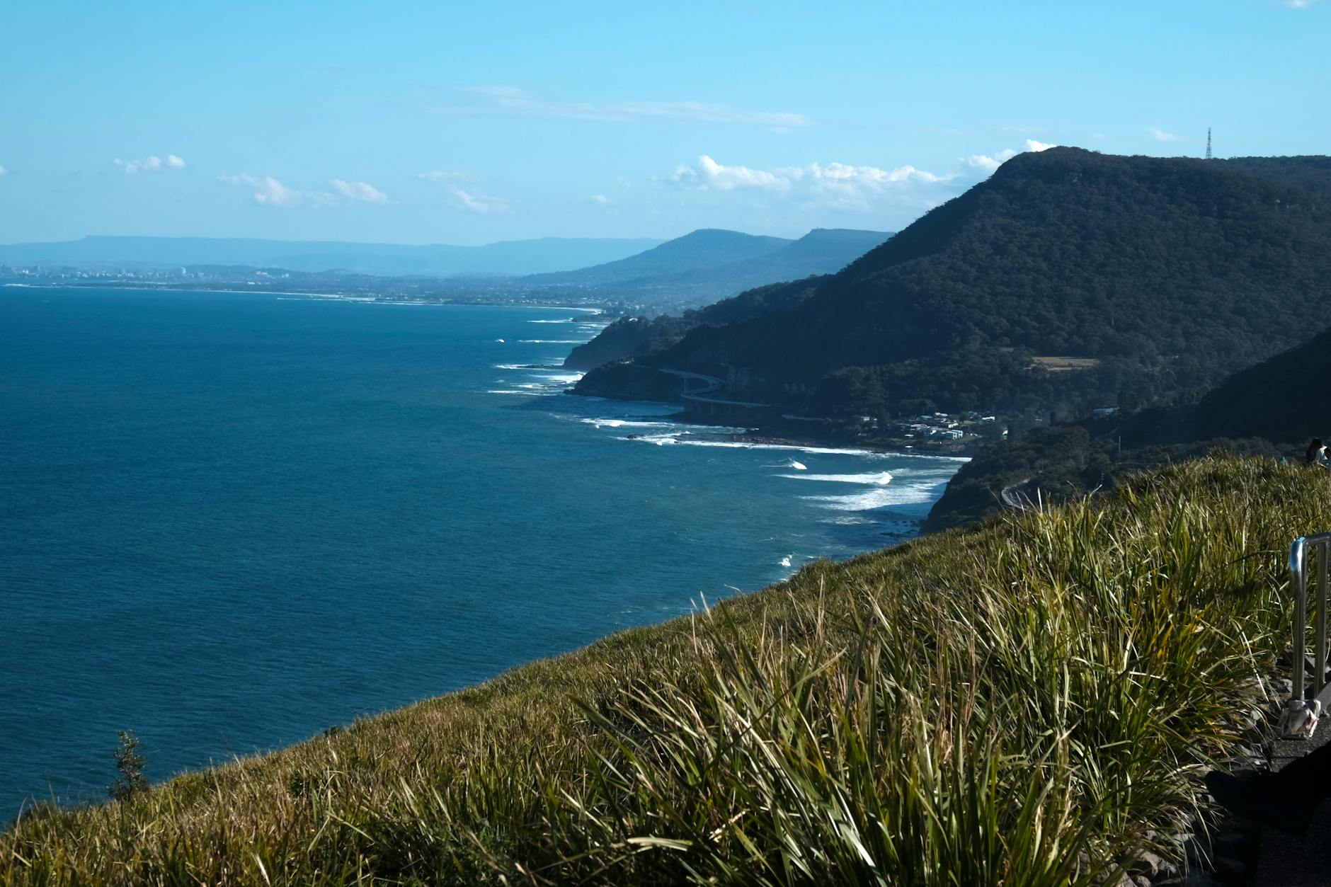
Granite cliffs viewpoint: Multiple cliff-top spots with sweeping ocean views.
Tunnel Bluffs (East Beach): Less-photographed but stunning ocean panorama.
West Beach lookout: Different angle on the lighthouse and Burrard Inlet.
Arbutus tree viewpoint: Photogenic arbutus trees with Pacific views behind.
Sunset: Best from West Beach looking west; crowds can gather at sunset.
Photography Tips
Lighthouse shots:
- Wide-angle (16-35mm) captures lighthouse + landscape
- Mid-tele (70-200mm) compresses lighthouse with downtown
- Sunset golden-hour (especially summer evenings) is magical
- Fog days produce atmospheric moody shots
Forest shots:
- Tripod recommended for low-light forest interiors
- Wide-angle for canopy shots looking up
- Polarizer for cutting glare on rocks and ocean
Sunrise/sunset specific: Lighthouse is dramatic at golden hour; ocean reflections multiply the light.
Wildlife & Harbor Seals
Common wildlife:
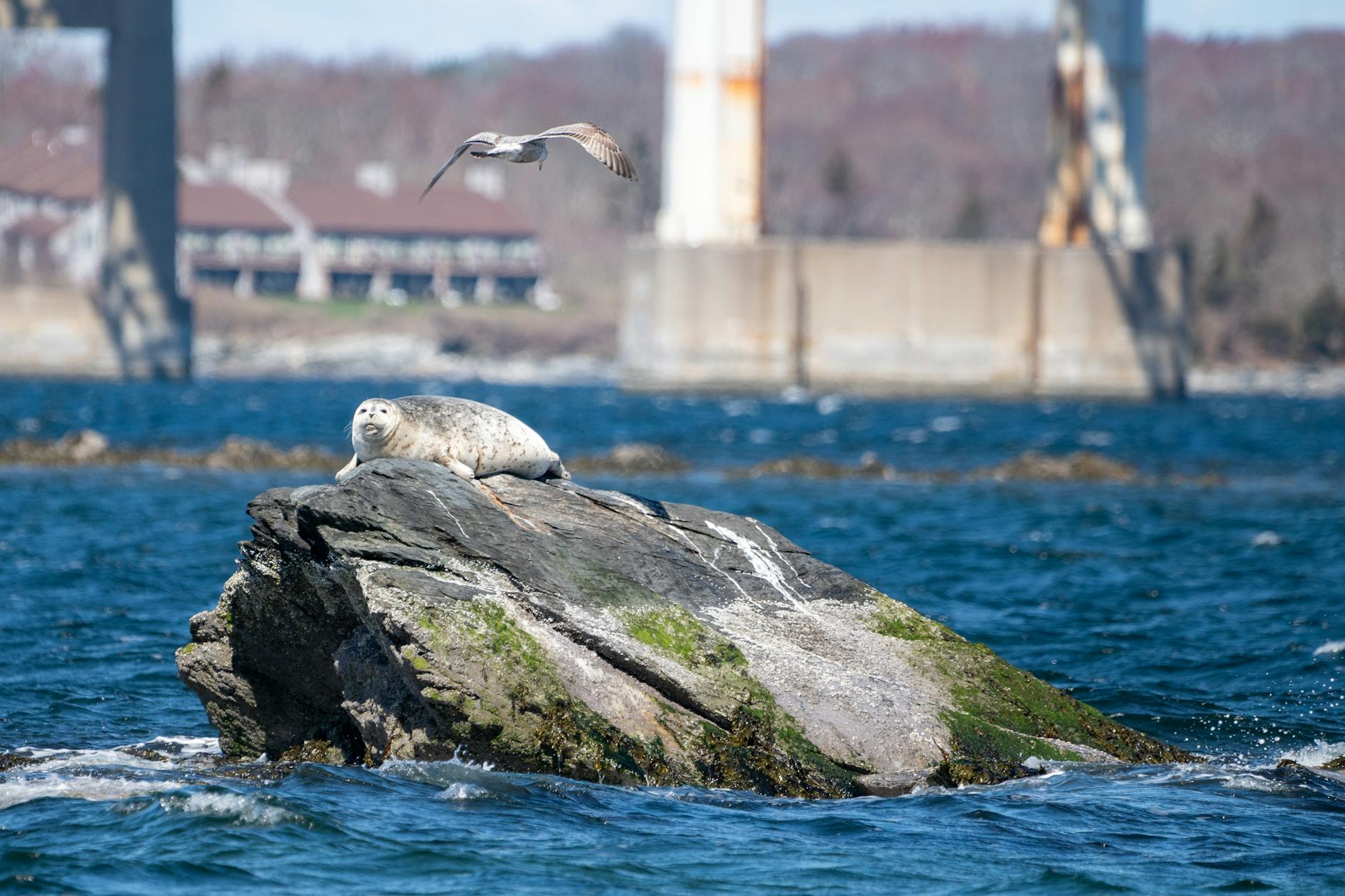
- Harbor seals (frequently visible from cliffs near lighthouse)
- Bald eagles (common; active fishing)
- Black-tailed deer (occasional)
- Pileated woodpeckers
- Steller’s jays
- Common ravens
- Various seabirds
Less common: Black bears (rare in park; more common in surrounding area), cougars (very rare).
Marine mammals: Orcas occasionally pass through Burrard Inlet; humpback whales rare. Harbor seals consistent.
Wildlife etiquette: Don’t approach seals, eagles, deer, or any wildlife. Don’t feed any animals.
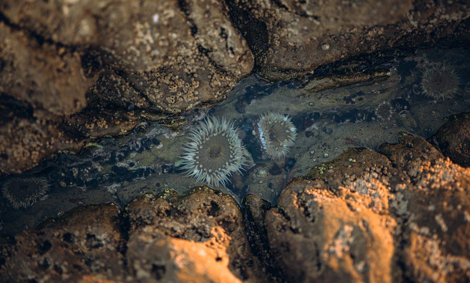
Tide Pools at Low Tide
Lighthouse Park’s rocky shoreline has tide pools at low tide.
Best tide pool spots: Both East Beach and West Beach.
Best timing: Low tide on calm days. Check tide tables.
What you’ll find: Sea anemones, hermit crabs, sea stars, mussels, barnacles, sea urchins.
Etiquette: Don’t disturb wildlife; don’t take shells or live creatures; respect tide pool boundaries.
West Vancouver Dining
Recommended West Van restaurants:
- Salmon House on the Hill: Iconic West Van Pacific Northwest seafood with mountain/inlet view. C$60-100/person.
- Beachside Cafe (Ambleside): Casual seafood and pub fare with view. C$25-45/person.
- The Boathouse Restaurant (Horseshoe Bay): Casual coastal seafood. C$25-45/person.
- Park Royal mall food court: Quick options.
- Caulfeild Village shops: Boutiques and cafes 5 min from Lighthouse Park.
Sample Visit Itinerary
Half-day visit:
10 AM: Drive from downtown
10:45 AM: Park at Beacon Lane
11:00 AM: Lighthouse Loop hike (1 hour)
12:00 PM: West Beach lookouts (45 min)
12:45 PM: Photography stops
1:30 PM: Lunch at Beachside Cafe (Ambleside)
2:30 PM: Drive back
Full-day visit:
9 AM: Lighthouse Park hikes (3 hours including all trails)
12 PM: Lunch at Salmon House on the Hill
2 PM: Drive to Whytecliff Park (10 min) for additional Pacific views
3 PM: Return via Park Royal for shopping
5 PM: Drive back to downtown
Related Vancouver guides
Keep planning with these guides:
Lighthouse Park FAQs
Is Lighthouse Park free?
Yes — completely free entry and free parking.
How long is the Lighthouse Park trail?
Main lighthouse loop is 2 km (1 hour). Combined trails total 4-5 km (2-3 hours).
Can I see the lighthouse interior?
No — the lighthouse interior is closed to public tours. You can walk around the exterior.
Are dogs allowed at Lighthouse Park?
Yes, on leash. Don’t bring dogs onto sensitive cliff edges.
Is Lighthouse Park stroller-friendly?
Main lighthouse trail mostly yes; side trails have stairs that aren’t stroller-friendly.
How old are the trees in Lighthouse Park?
Some Douglas fir over 500-800 years old; preserved old-growth makes Lighthouse Park unusual for an urban-adjacent park.
What’s the best time to visit Lighthouse Park?
Year-round; mid-week mornings for fewer crowds; sunset for photography.
Point Atkinson Lighthouse History Detailed
Point Atkinson Lighthouse has guided ships through the entrance to Burrard Inlet for nearly 150 years — its history reflects the broader maritime story of British Columbia.
1875: First light installed. The original lighthouse was a small wooden structure on the cliffs of Point Atkinson. Hand-tended; relied on whale oil lamps initially.
1912: Concrete tower built. The current iconic concrete lighthouse tower was constructed. The robust design was meant to withstand Pacific storms; it survives essentially unchanged.
1920s-1930s: The lighthouse keeper and family lived in adjacent residences. Children would walk to school; isolated existence with periodic supply boat visits.
1950s: Electric lighting replaced earlier kerosene/whale oil systems. Major improvement in beacon range and reliability.
1996: Automated. The Coast Guard automated the light, ending its 121-year run as a manned station. Last keeper departed; automated systems took over operation.
1994: National Historic Site designation. Federal recognition of the lighthouse’s significance to BC and Canadian maritime history.
Modern operation:
- Automated; unmanned
- Still actively guides Burrard Inlet shipping
- Coast Guard maintains structure and beacon
- Open to exterior visiting; interior closed to public
- Iconic landmark in Vancouver tourism
Cultural significance: The lighthouse appears in countless Vancouver tourism photographs, films (Pacific Northwest setting movies), and is featured in BC Coast Guard heritage exhibits.
Visiting the lighthouse: Walk the trail to the lighthouse exterior; surrounding cliffs offer multiple photo angles; rocky outcropping nearby provides ocean views; on clear days you can see Vancouver Island peaks.
Maritime Heritage of West Vancouver
West Vancouver has a rich maritime heritage that connects to Lighthouse Park.
Pre-European maritime use: Coast Salish peoples used Burrard Inlet for fishing, transportation, and ceremony for thousands of years. Canoe travel was extensive.
1791-1792: George Vancouver expedition. Captain Vancouver and his ships HMS Discovery and HMS Chatham mapped Burrard Inlet. The lighthouse stands near where Vancouver first explored the inlet’s entrance.
Late 1800s shipping growth: As Vancouver port grew, Point Atkinson became a critical lighthouse for safe entry. Cargo ships, passenger steamers, and fishing boats all relied on its beacon.
1900s-1950s: West Vancouver developed as residential community for ferry/boat commuters to downtown Vancouver. Boat-based commute remained until Lions Gate Bridge opened in 1938.
Modern maritime heritage:
- Active commercial shipping continues through Burrard Inlet
- Recreational boating thrives
- Cruise ship season brings 200+ ship visits annually
- Yacht clubs and marinas line the West Vancouver coast
- Coast Guard maintains active marine safety operations
Maritime sites worth visiting:
- Lighthouse Park (Point Atkinson Lighthouse)
- Whytecliff Park (rocky shoreline; great for tide pools)
- Ambleside Pier (active fishing)
- Horseshoe Bay (BC Ferries terminal; active marina)
- Bayswater Marina
Maritime activities:
- Whale watching tours (May-October)
- Boat charters and fishing
- Sailing courses
- Sea kayaking from Bowen Island
- Coast Guard rescue training observable from shore
Maritime museums in Vancouver:
- Vancouver Maritime Museum (Kitsilano)
- St. Roch RCMP Arctic Ship inside the museum
- Marine Life Centre (occasionally open)
Lighthouse Park Conservation
Lighthouse Park represents one of Metro Vancouver’s most important conservation success stories.
Old-growth preservation:
- 75 hectares of preserved Pacific coast rainforest
- Some Douglas fir specimens 500-800 years old
- Western red cedar 300+ years
- Trees up to 70+ meters tall
Why this preservation succeeded:
- Rocky cliffs made commercial logging difficult
- Remote-from-Vancouver location reduced development pressure
- Federal lighthouse land status provided some protection
- Local conservation activism in 1900s-1950s
- 1958: Officially designated as conservation area
Modern conservation challenges:
- Invasive species (Japanese knotweed, ivy, Himalayan blackberry)
- Trampling damage from high foot traffic
- Erosion at cliff edges
- Wildlife habitat fragmentation
- Climate change impacts
Active conservation efforts:
- Invasive species removal programs
- Native plant restoration in disturbed areas
- Cliff edge protection (boardwalks, fencing)
- Educational programs at trailheads
- Volunteer trail maintenance
- Research partnerships with West Vancouver and UBC
Visitor conservation responsibility:
- Stay on marked trails
- Don’t pick plants or take rocks
- Pack out everything you pack in
- Respect wildlife distances
- Don’t disturb tide pools (look, don’t touch)
- Use designated picnic areas only
- Don’t bring dogs to sensitive areas
Lighthouse Park Photography Mastery
Lighthouse Park is one of Vancouver’s premier photography destinations.
Iconic shot: Lighthouse with downtown skyline
- Position: Stand south of the lighthouse looking back
- Lens: 70-200mm telephoto compresses lighthouse with city behind
- Best time: Sunset (golden hour); blue hour 30 min after sunset
- Settings: f/8, ISO 100, tripod for long exposures
Atmospheric shot: Lighthouse in fog
- Position: Cliff edge near lighthouse
- Lens: 24-70mm wide-angle
- Best conditions: Foggy mornings (May-October especially)
- Settings: f/4-5.6, slightly underexposed (-1 stop) to retain fog detail
Forest interior shots:
- Position: Multiple forest sections, especially old-growth Douglas fir areas
- Lens: 16-35mm wide-angle for canopy shots
- Best: Overcast days for soft, even light
- Settings: f/8, ISO 200-400, tripod helpful
Tide pool macro:
- Position: West Beach or East Beach at low tide
- Lens: Macro (100mm preferred) for close detail
- Best: Low tide on calm days; overcast soft light
- Settings: f/16-22 for depth of field
Sunrise/sunset specific:
- Sunrise: Lighthouse silhouette against pink sky
- Sunset: Lighthouse with golden hour skyline
- Blue hour: Long exposures of lighthouse with city lights
Equipment recommendations:
- Tripod (essential for sunset and long-exposure shots)
- Polarizing filter (cuts glare on water and rocks)
- Wide-angle lens for landscapes
- Telephoto for compressed lighthouse-city compositions
- Macro for tide pools (optional)
- Rain protection essential year-round
Working with Tides for Visit Planning
Lighthouse Park’s beaches and tide pools change dramatically with tides — knowing tide schedules optimizes visits.
Tide cycles:
- Two high tides + two low tides daily (semi-diurnal)
- Tide cycle ~12 hours 25 minutes
- Full moon and new moon = strongest tides (spring tides)
- Quarter moons = weakest tides (neap tides)
Best for tide pool visiting:
- Low tide reveals tide pools
- Best visibility at “low low tide” of the day
- Peak tide pool exposure during spring tides
- 30-60 minutes after low tide point ideal
Where to find tide tables:
- Government of Canada tide tables (free online)
- Tides.com or Tides Near Me app
- BC Ferries website (sometimes)
- Local Tofino tides apply (similar pattern)
Reading tide tables:
- Time of day (in 24-hour format usually)
- Height in meters (low/high)
- Direction (rising/falling)
- Spring/neap indication
Lighthouse Park-specific tide considerations:
- Beach areas accessible at most low tides
- Tide pools dry at extreme low tides only
- Some beach areas only accessible at very low tides
- Sunset + low tide combination is photographer’s gold
Tides photography tips:
- Plan visits 1-2 hours either side of low tide
- Multiple shots from same vantage as tide changes
- Time-lapse of tide rising/falling
- Long exposures showing water motion at tide change
Safety with tides:
- Be aware of incoming tide if exploring far down beach
- Sneaker waves at low tide are dangerous
- Don’t swim during heavy tide changes
- Pacific waves can come from unexpected directions
Best Half-Day Lighthouse Park Itinerary
A half-day at Lighthouse Park combines hiking, photography, and dining.
Sample 4-hour visit (10 AM – 2 PM):
- 9:30 AM: Depart downtown Vancouver
- 10:00 AM: Arrive at Lighthouse Park (Beacon Lane parking)
- 10:15 AM: Begin Lighthouse Loop (1 hour). Walk to Point Atkinson Lighthouse; multiple photo stops.
- 11:15 AM: Continue to West Beach trail (45 min). Beach views; cliff-top lookouts.
- 12:00 PM: Walk back to parking; drive to nearby restaurant.
- 12:30 PM: Lunch at Salmon House on the Hill (West Vancouver) or Beachside Cafe (Ambleside).
- 2:00 PM: Drive back to downtown Vancouver.
Sample full-day visit (8 hours):
- 9:00 AM: Depart downtown Vancouver
- 9:30 AM: Arrive at Lighthouse Park
- 9:45 AM: Lighthouse Loop hike (1 hour)
- 11:00 AM: West Beach trails (1 hour)
- 12:15 PM: East Beach trails (45 min)
- 1:00 PM: Lunch at Salmon House on the Hill
- 2:30 PM: Drive to Whytecliff Park (10 min)
- 2:45 PM: Whytecliff Park hike (1 hour)
- 4:00 PM: Drive to Park Royal mall
- 4:30 PM: Coffee or shopping at Park Royal
- 5:30 PM: Drive back to downtown
Sunset-focused itinerary:
- 5:00 PM: Depart downtown
- 5:30 PM: Arrive Lighthouse Park
- 5:45 PM: Lighthouse Loop (60 min)
- 6:45 PM: West Beach for sunset (1 hour)
- 8:00 PM: Dinner at Salmon House on the Hill (sunset views)
- 9:30 PM: Drive back to downtown
Photography-focused itinerary:
- 6:00 AM: Sunrise photography from Lighthouse Park (winter sunrise 8 AM)
- 9:00 AM: Breakfast at Beachside Cafe
- 10:30 AM: Lighthouse Loop with photography focus
- 12:00 PM: Lunch + driving
- 2:00 PM: Sunset preparation; return to Lighthouse Park
- 5:30 PM: Sunset golden hour photography
- 7:00 PM: Blue hour photography (city lights from West Vancouver)
Combining with Whytecliff Park
Whytecliff Park is 10 minutes from Lighthouse Park and worth combining for a full West Vancouver day.
Whytecliff Park overview:
- 15-acre park with rocky shoreline
- Beach access at low tide
- Tide pools and marine life observation
- Mountain views toward Howe Sound
- Free entry; free parking
Whytecliff Park trails:
- Whyte Cliff Loop (1.5 km, 45 min): Easy coastal walking
- Bowen Lookout (2 km, 1 hour): Views toward Bowen Island
- Multiple beach access points
Combined day plan:
- Lighthouse Park morning (3 hours): Lighthouse + multiple beaches
- Drive to Whytecliff (10 min)
- Lunch picnic at Whytecliff or nearby restaurants
- Whytecliff afternoon (2 hours): Coastal hiking
- Optional: Horseshoe Bay area for ferry watching
Wildlife at Whytecliff:
- Harbor seals (consistent)
- Sea lions (winter especially)
- Various seabirds
- Bald eagles (year-round)
- Great blue heron
- Tide pools at low tide
Photography at Whytecliff:
- Bowen Island compositions across Howe Sound
- Pacific sunset shots (different angle than Lighthouse Park)
- Tide pool macro photography
- Wildlife photography (seals, birds)
Whytecliff vs. Lighthouse Park:
- Lighthouse Park: Lighthouse, old-growth forest, dramatic cliffs
- Whytecliff Park: Coastal walking, beach access, easier terrain
- Both: Ocean views, photography opportunities, free entry
Best for visitors: Combine both in one day for variety. Lighthouse Park morning for forest + lighthouse experience; Whytecliff Park afternoon for relaxed coastal walking.
Related reading: Pair this with our Lynn Canyon, best hikes, and Vancouver outdoor pillar.