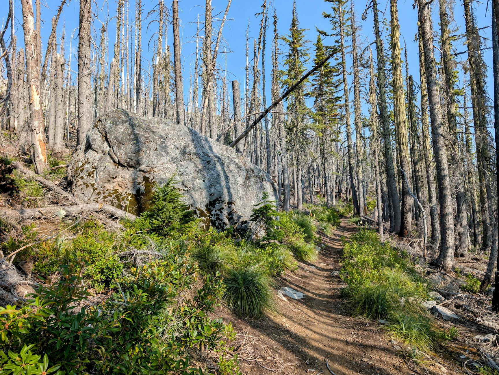
Easy hikes Vancouver means trails under 2 hours that reward casual walkers with Pacific Northwest forest, ocean views, or both — without the technical challenges of Grouse Grind or backcountry routes. Vancouver’s geography gives the city dozens of easy hike options within 30-45 minutes of downtown: Lighthouse Park’s 2-km lighthouse loop, Stanley Park’s Seawall, Lynn Canyon’s suspension-bridge trail, Quarry Rock’s 3.7-km return, Spanish Banks’ beach walks, Pacific Spirit Park’s forest paths, and many more.
This guide covers the best easy Vancouver hikes for casual hikers, families with kids, and fitness-conscious visitors who want forest immersion without serious commitment. Each hike includes distance, time, difficulty notes, photo opportunities, and combination ideas.
Table of Contents
Easy Hikes at a Glance
- Stanley Park Seawall (full loop): 9 km, 2-3 hours walking
- Lighthouse Park Loop: 2 km, 1 hour
- Lynn Canyon Loop: 1-3 km depending on route, 30-90 min
- Quarry Rock: 3.7 km, 1.5 hours
- Pacific Spirit Sword Fern Trail: 1 km, 30 min
- Cypress Falls Park: 2 km, 1 hour
- Cates Park beach walks: 2-4 km, varied
- Burnaby Mountain trails: Multiple options 1-3 hours
- Pitt-Addington Marsh boardwalk: 4 km, 1 hour
- Bowen Island easy trails: Killarney Lake (5 km, 90 min)
Stanley Park Seawall (Easy)
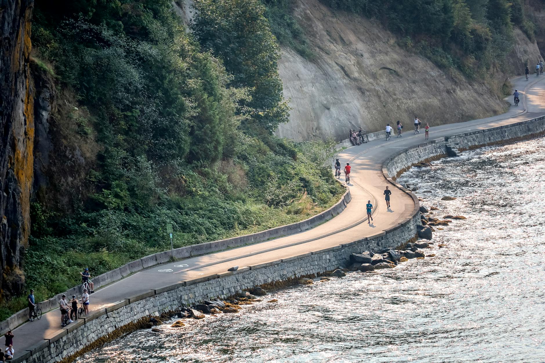
The Stanley Park Seawall is the world’s longest uninterrupted urban waterfront path — a paved 9-km route hugging Vancouver’s iconic 405-hectare urban park.
Trail stats: 9 km full loop, 2-3 hours walking pace, completely flat, paved throughout.
Major sights: Coal Harbour Marina, 9 O’Clock Gun, Brockton Point Lighthouse, Totem Poles, Lions Gate Bridge underneath, Prospect Point lookout, Third Beach, Siwash Rock, Second Beach, English Bay.
Best for: First-time visitors; families; couples on date walks; anyone wanting iconic Vancouver views.
Direction: Counter-clockwise on the bike path; pedestrian path is bidirectional.
Time strategies: Full loop in 2.5 hours; partial loop (Coal Harbour to Third Beach) in 90 minutes.
Best time: Sunrise (6-8 AM summer) for empty paths; sunset for golden hour photos.
Photo highlights: Lions Gate Bridge from below, Brockton Point Lighthouse, Siwash Rock at sunset, downtown skyline from English Bay.
Combine with: FlyOver Canada or Vancouver Lookout afterward; coffee at Stanley’s Park Bar & Grill (Second Beach).
Lighthouse Park Loop
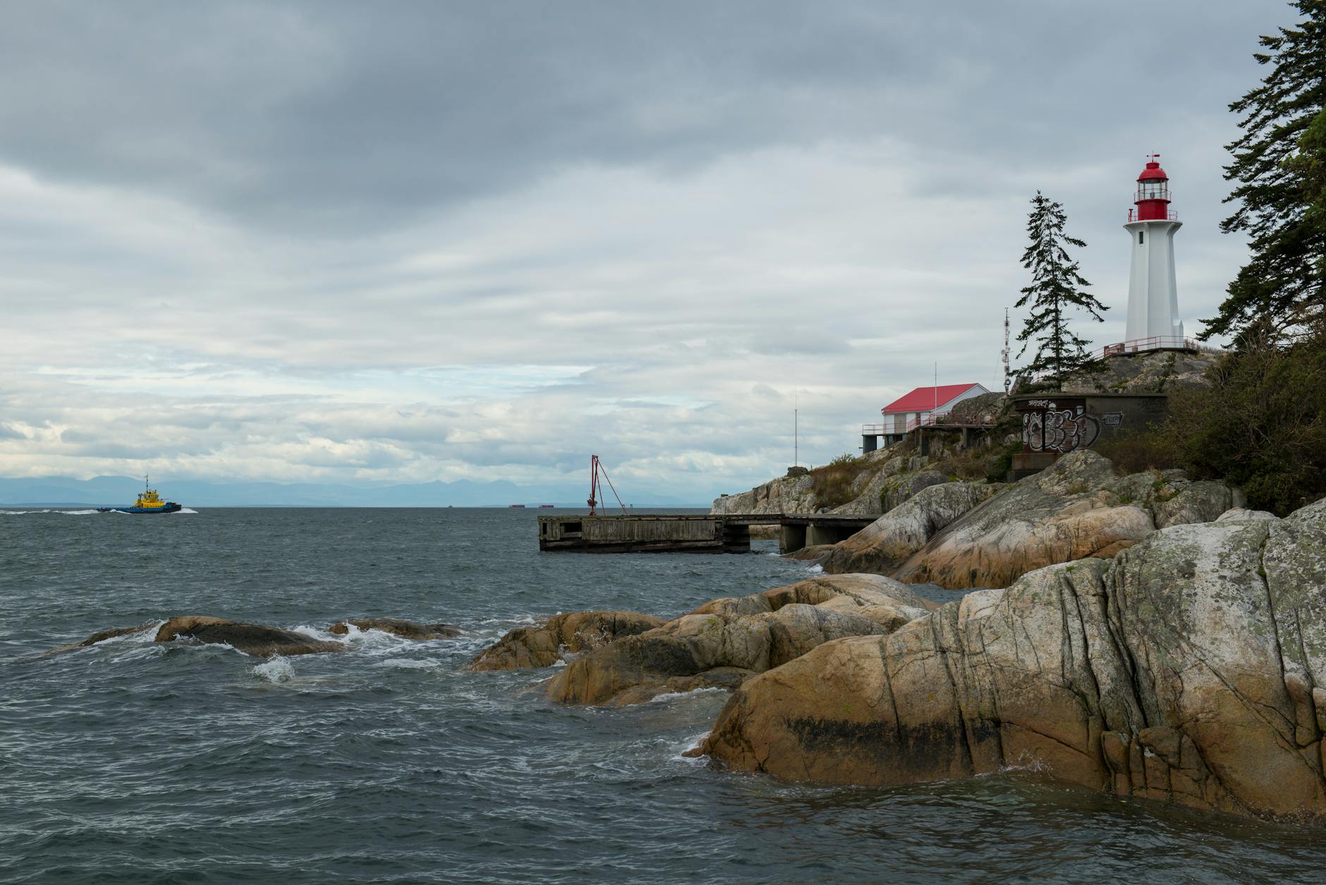
Lighthouse Park (West Vancouver) offers one of Vancouver’s best easy hikes — old-growth Pacific Coast rainforest meeting dramatic ocean cliffs at the iconic 1912 Point Atkinson Lighthouse.
Trail stats: 2 km main loop, 1 hour, easy with some stairs; combined trails 4-5 km (2-3 hours).
Why it’s special: 75 hectares of preserved old-growth Douglas fir (some 500-800 years old), the historic lighthouse, multiple ocean cliff lookouts, tide pools at low tide.
Trail directions: Beacon Lane parking → Lighthouse Loop trail → optional West Beach branch → return.
Best for: Couples wanting scenic + photogenic; families with school-age kids; photography enthusiasts.
Cost: Free entry; free parking.
Photo highlights: Iconic lighthouse with downtown skyline, ocean cliff lookouts, old-growth Douglas fir trunks, tide pools at low tide.
Combine with: Salmon House on the Hill restaurant lunch; Whytecliff Park afternoon (10 min drive).

Lynn Canyon Loop
Lynn Canyon Park (North Vancouver) features the city’s free alternative to Capilano Suspension Bridge — a 50-meter-high bridge over Lynn Creek’s old-growth canyon.
Trail stats: Suspension Bridge Loop 1 km (30 min); Twin Falls Loop 2 km (45 min); Combined easy circuits 3 km (60-90 min).
Why it’s special: Free suspension bridge experience, Twin Falls waterfall, 30-Foot Pool swimming hole (summer), Ecology Centre education.
Best for: Visitors wanting suspension bridge experience without C$59-69 Capilano admission; families with kids; active adventurers.
Cost: Free entry; free parking.
Photo highlights: Suspension bridge in forest setting, Twin Falls waterfall, 30-Foot Pool emerald water, old-growth forest interior.
Combine with: Capilano Suspension Bridge (paid; 15 min drive) for compare-and-contrast experience; Lonsdale Quay for SeaBus return; Grouse Mountain skyride.
Quarry Rock
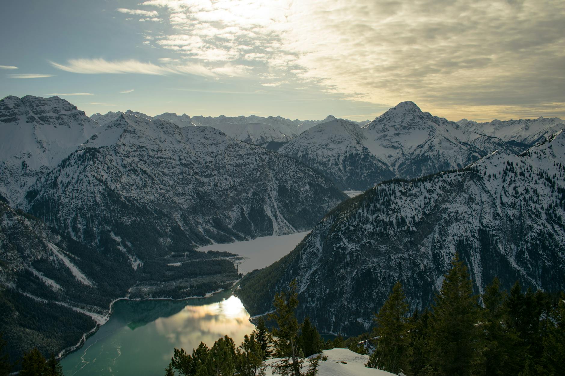
Quarry Rock (Deep Cove) is Metro Vancouver’s most beloved short hike — a 3.7-km return trail to a granite summit with panoramic Indian Arm views.
Trail stats: 3.7 km return, 1.5 hours at moderate pace, 100m elevation gain, easy-moderate difficulty.
Why it’s special: Iconic Metro Vancouver hike; panoramic Indian Arm fjord views from granite summit; post-hike Honey Doughnuts ritual at Deep Cove village.
Trail directions: Northeast end of Deep Cove village → Panorama Drive → trailhead → switchbacks → granite summit.
Best for: Visitors with moderate fitness; couples on day-trips; families with school-age kids.
Cost: Free entry; free parking nearby (often crowded weekends).
Photo highlights: Indian Arm panorama from granite summit, sunset views, fjord with mountains.
Combine with: Honey Doughnuts (Deep Cove); Beach House at Deep Cove lunch; kayaking at Deep Cove Kayak Centre.

Pacific Spirit Forest Loops
Pacific Spirit Regional Park (UBC peninsula) offers 70+ km of trails through old-growth and mature second-growth Pacific Coast rainforest.
Easy trail options:
- Sword Fern Trail: 1 km loop, 30 min
- Camosun Bog Boardwalk: 0.5 km, wheelchair-accessible
- Pacific Spirit Bog Loop: 1.5 km, 45 min
- Salish Trail: 5 km loop, 90 min (extending to moderate)
Why special: Largest urban forest in Metro Vancouver; old-growth Douglas fir; quiet alternative to Stanley Park; year-round access.
Best for: Visitors near UBC; families; trail runners; dog walkers (off-leash zones designated).
Cost: Free entry; free parking at multiple lots.
Combine with: Museum of Anthropology (UBC); Beaty Biodiversity Museum; UBC campus walking; Wreck Beach (advanced descent).
Cypress Falls Park
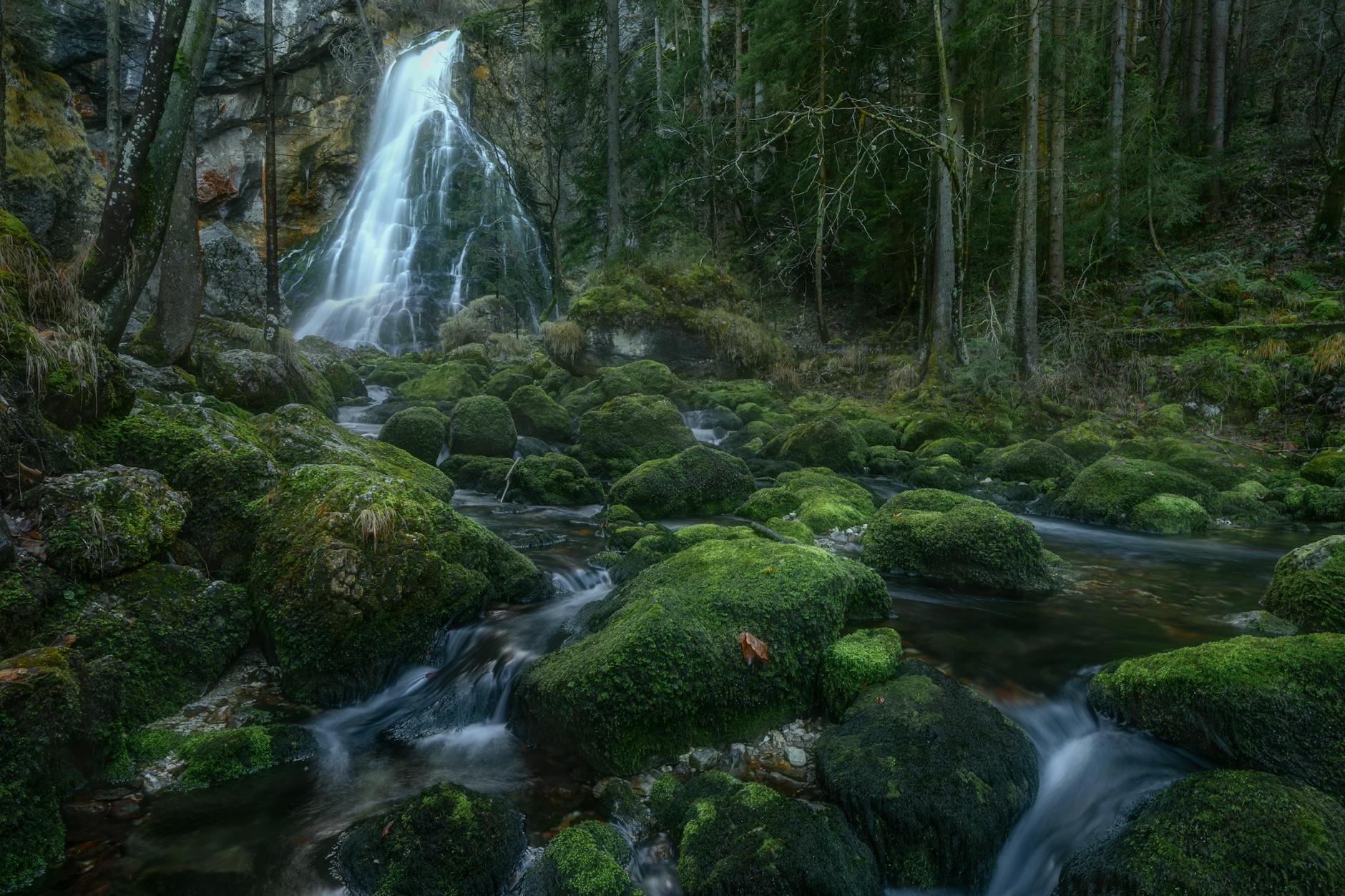
Cypress Falls Park (West Vancouver) is a hidden gem — old-growth Douglas fir forest with two waterfall viewing points along a 2-km loop.
Trail stats: 2 km loop, 1 hour, easy.
Why special: Less-crowded than Lighthouse Park; two distinctive waterfalls (Cypress Falls and Lower Falls); old-growth Douglas fir up to 200+ years old; quiet forest atmosphere.
Best for: Visitors wanting to escape tourist trails; photographers seeking quieter compositions; mid-level hikers wanting lush forest.
Cost: Free entry; free parking.
Photo highlights: Cypress Falls cascade, Lower Falls reflection, old-growth tree compositions, forest interior.
Combine with: Whytecliff Park (10 min drive); Cypress Mountain (winter skiing/summer hiking).
Cates Park & Beach Walks
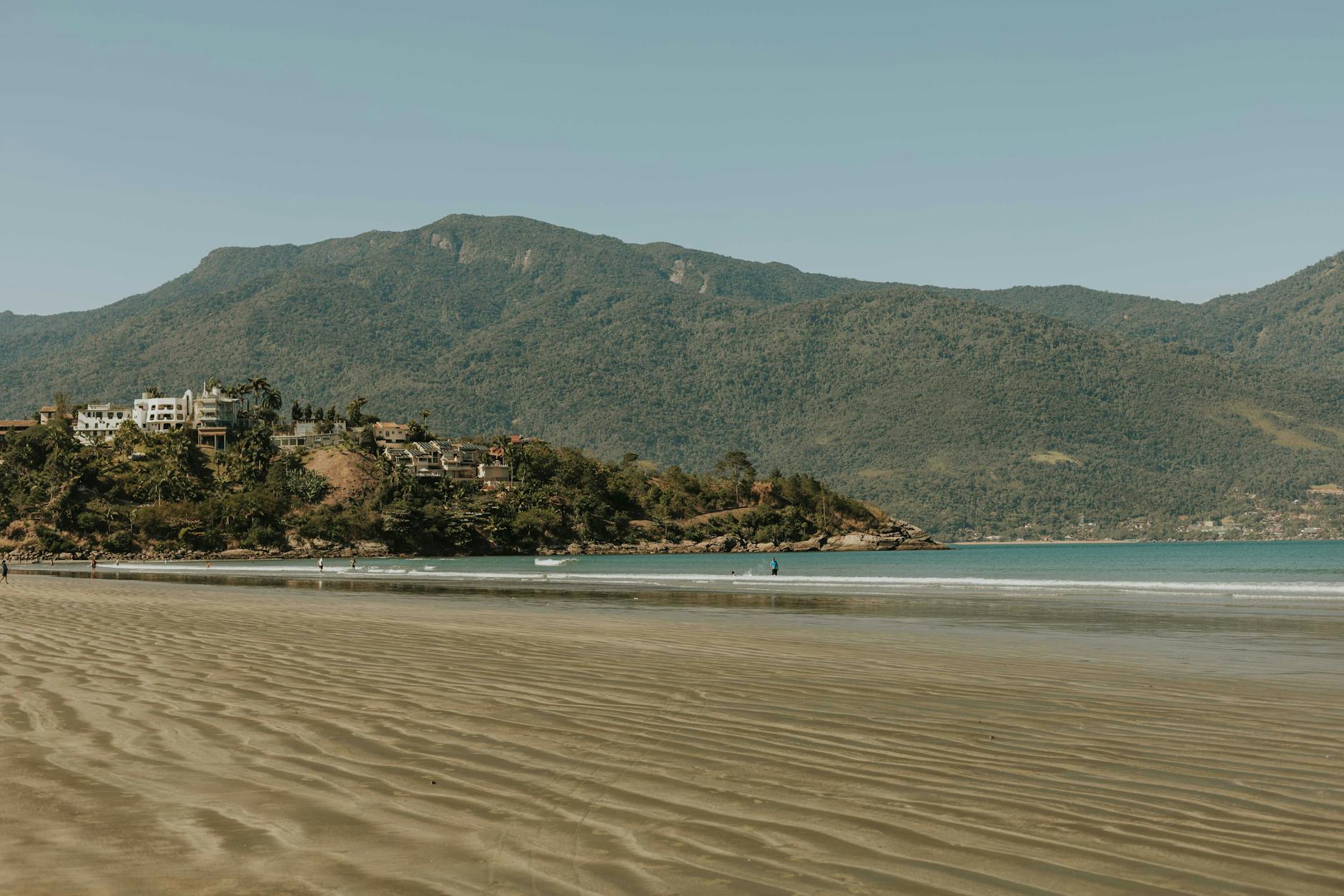
Cates Park (Deep Cove area) is North Vancouver’s largest beach — sandy beach with mountain views, picnic areas, totem poles, and Indian Arm shoreline access.
Walks available:
- Beach walk (2-3 km along sand): 30-60 min
- Forest paths through park: 1-2 km loops
- Combined walks: 3-4 km, 1.5 hours
Why special: Family-friendly; substantial beach with sand; off-leash dog area; First Nations totem poles; mountain views; picnic facilities.
Best for: Families with kids; dog owners; couples wanting laid-back beach time; photographers (sunsets across Indian Arm).
Cost: Free entry; free parking; some paid parking during peak.
Combine with: Deep Cove village (5 min drive); Quarry Rock hike afterward; Honey Doughnuts.
Burnaby Mountain Park
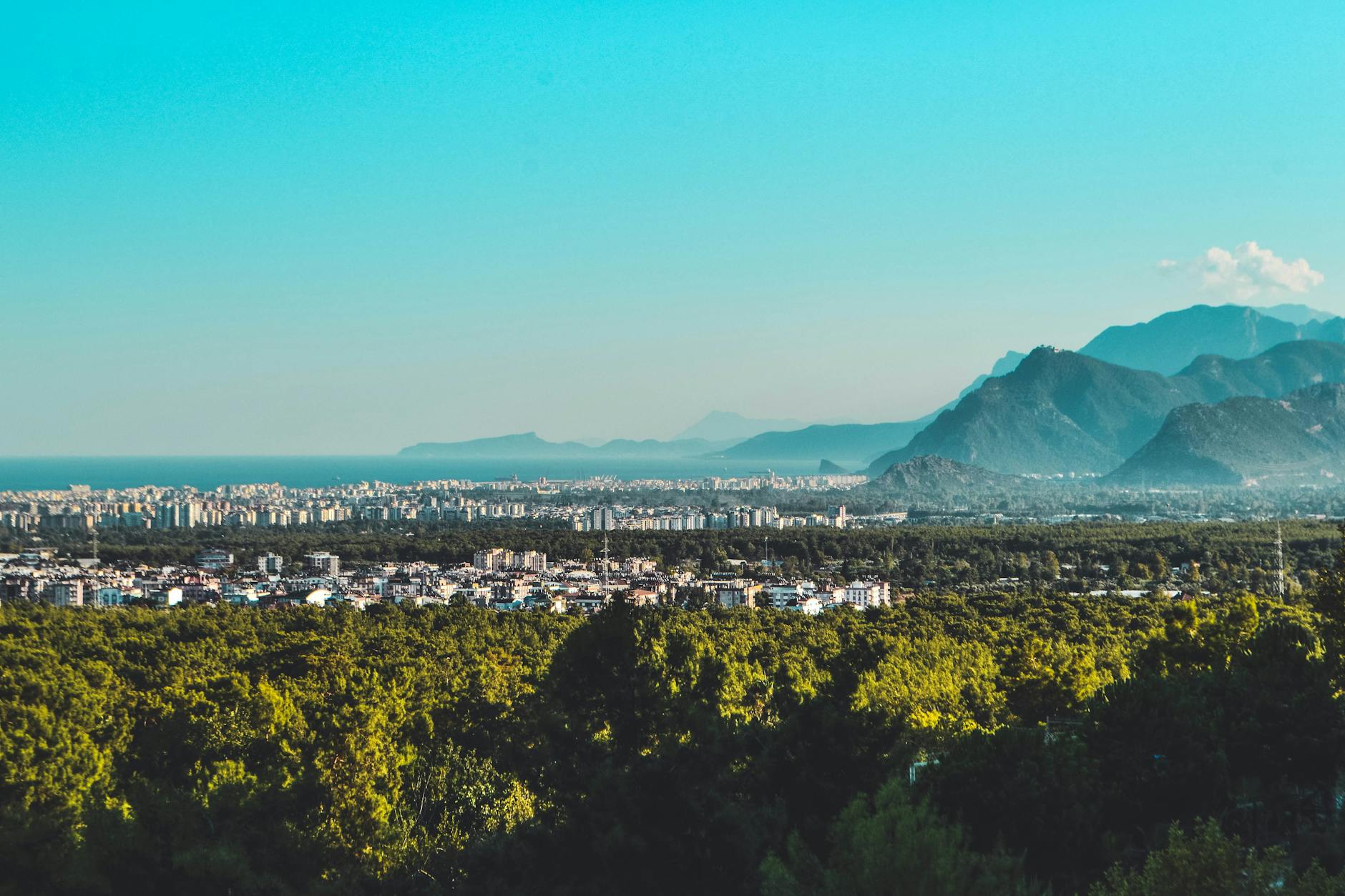
Burnaby Mountain Park (just east of Vancouver, in Burnaby) features panoramic city views, multiple trails, and the iconic SFU campus on top.
Trail options:
- Burnaby Mountain Conservation Area trails: 2-3 km loops
- Centennial Way Trail: 5 km return
- Multiple summit lookouts
Why special: Best 360° views of Metro Vancouver; quieter than other parks; SFU campus exploration; less-touristy.
Best for: Photographers; visitors wanting panoramic city perspective; SFU university interest.
Cost: Free entry; free parking.
Photo highlights: 360° Metro Vancouver panorama, Burrard Inlet views, SFU campus modernist architecture, sunset views.
Combine with: Metropolis at Metrotown shopping; SFU campus tour; SkyTrain accessible from Lougheed Town Centre.
Pitt-Addington Marsh
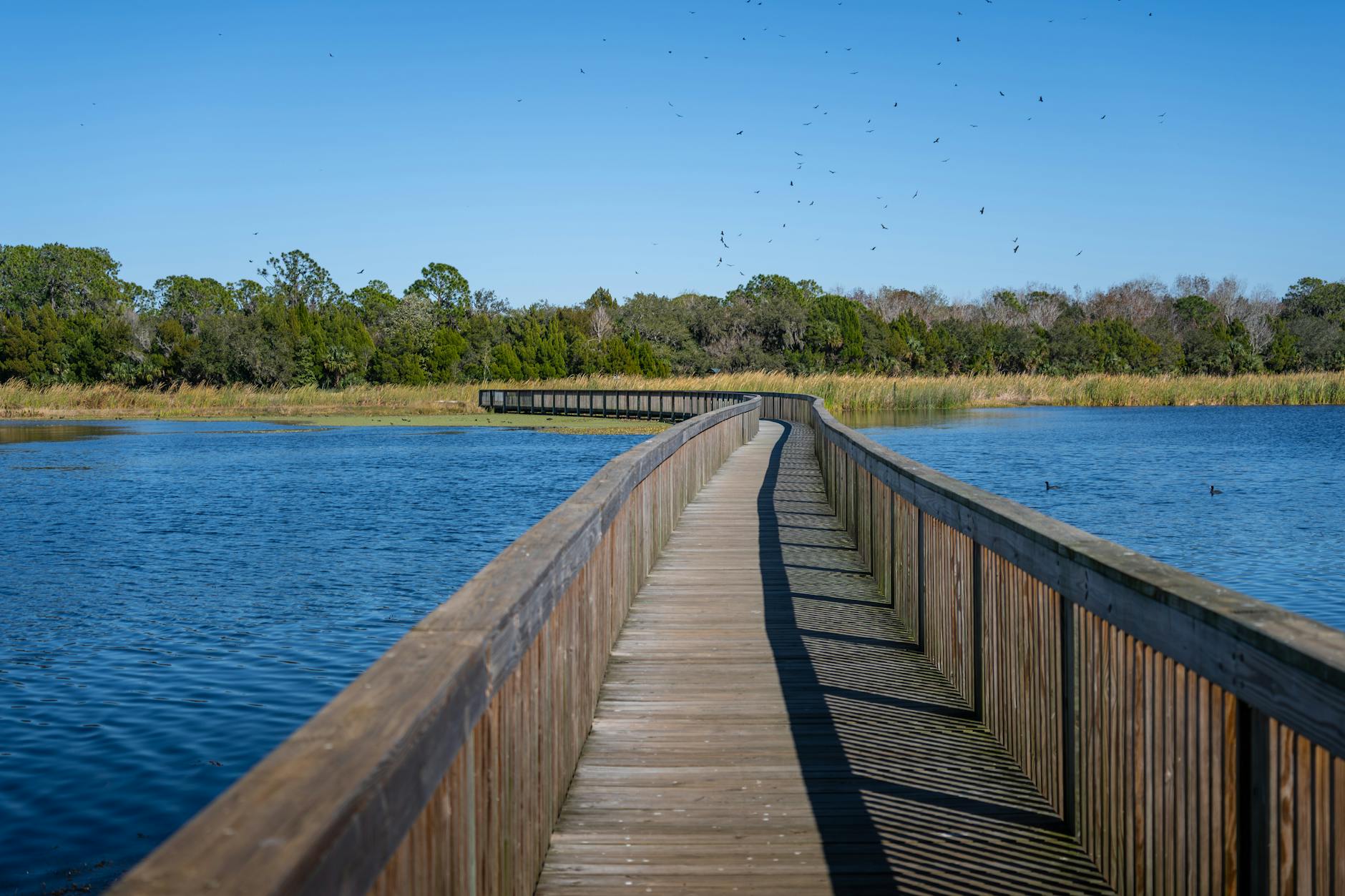
Pitt-Addington Marsh (Maple Ridge, 45 min east of Vancouver) is Lower Mainland’s largest freshwater marsh — boardwalk trails through wetland with bird life and seasonal beauty.
Trail stats: 4 km boardwalk loop, 1 hour, completely flat, wheelchair-accessible (most sections).
Why special: Unique wetland ecosystem rare in Vancouver region; bird-watching paradise (especially spring and fall migration); beautiful in all seasons; very accessible.
Best for: Bird-watchers; families; accessibility needs; nature photographers.
Cost: Free entry; free parking.
Combine with: Pitt Lake (drive past); Maple Ridge village; further east into Fraser Valley.
Bowen Island Easy Trails
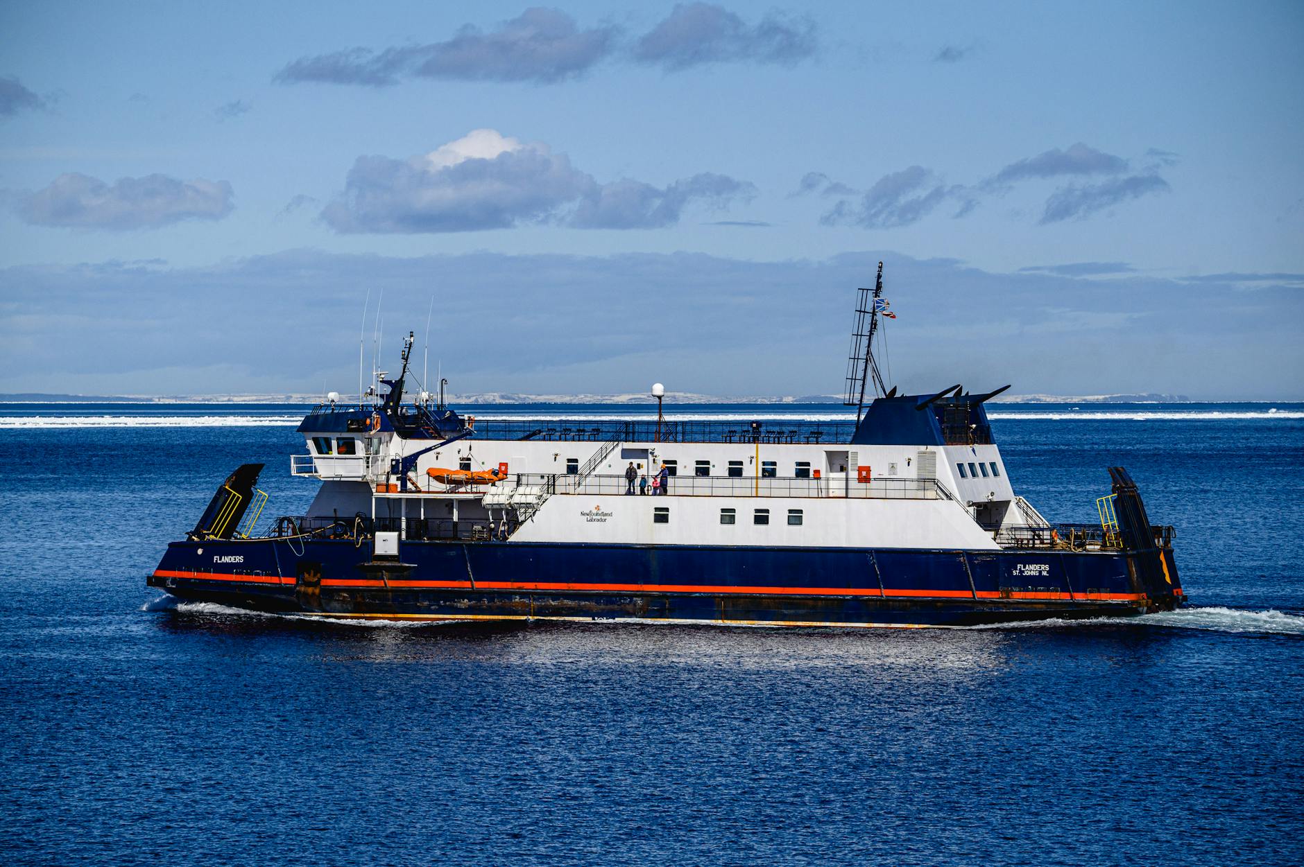
Bowen Island (20-min ferry from Horseshoe Bay) offers multiple easy trails with island atmosphere.
Easy trail options:
- Killarney Lake Trail: about 4 km loop, 90 min
- Snug Cove Loop: 3 km, 60 min
- Sandy Beach to Pebbly Beach: 1 km, 30 min
Why special: Island getaway feeling within day-trip distance; quieter than mainland trails; combine with Snug Cove village dining.
Best for: Couples wanting island adventure; families wanting variety; visitors with extra day to explore.
Cost: Free trails; ferry ~C$13 round trip foot passenger.
Combine with: Snug Cove village dining; Sandy Beach swimming (summer); Honey Doughnuts in Deep Cove afterward.

Easy Hikes with Kids
Several easy hikes work exceptionally well with children.
Best for ages 3-7:
- Sword Fern Trail (Pacific Spirit) — short, easy, manageable
- Camosun Bog Boardwalk — wheelchair-accessible, kid-friendly
- Stanley Park Seawall short loops (Coal Harbour section)
- Lighthouse Park lighthouse loop (1-hour, manageable)
- Cates Park beach walks
Best for ages 8-12:
- Quarry Rock (challenging but manageable; reward of summit views)
- Lynn Canyon Loop (suspension bridge novelty; engaging)
- Killarney Lake (Bowen Island; manageable distance)
- Cypress Falls Park (waterfalls engage kids)
Tips for hiking with kids:
- Bring substantial snacks and water
- Plan for 2× the time of fastest hiker’s pace
- Engage with games, scavenger hunts, photo challenges
- Allow kids to set occasional pace
- Have backup snacks for low-energy moments
- Consider stroller-friendly trails for small children
- Bring layers (kids dress hot when active)
- Plan a reward (Honey Doughnuts, ice cream)
Stroller-friendly easy hikes:
- Stanley Park Seawall (paved throughout)
- Lighthouse Park lighthouse loop (mostly stroller-OK)
- Pitt-Addington Marsh boardwalk (wheelchair-accessible)
- Camosun Bog Boardwalk (wheelchair-accessible)
Photography on Easy Hikes
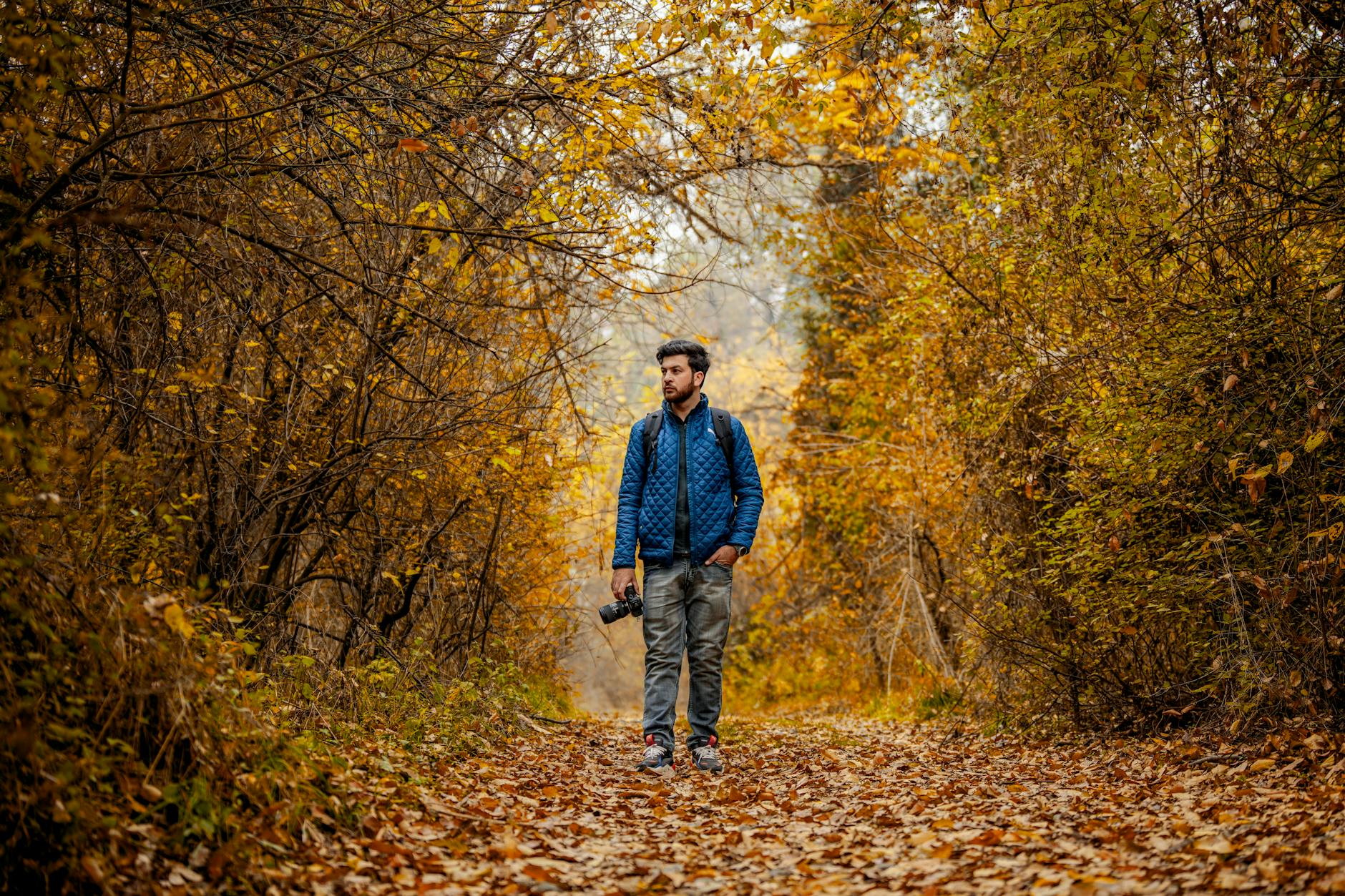
Easy Vancouver hikes offer exceptional photography opportunities.
Best photography hikes by subject:
- Lighthouse Park: Iconic lighthouse, dramatic cliffs, sunsets
- Stanley Park Seawall: Lions Gate Bridge, urban-meets-nature, sunsets
- Lynn Canyon: Suspension bridge, Twin Falls, forest interiors
- Quarry Rock: Indian Arm panorama, sunsets, fjord
- Pacific Spirit: Old-growth forest, ferns, dappled light
- Cypress Falls: Waterfall photography, forest streams
- Cates Park: Sunset across Indian Arm, totem poles
- Bowen Island Killarney: Lake reflections, forest paths
Photography equipment for easy hikes:
- Wide-angle lens (16-35mm) for landscapes
- Mid-tele (70-200mm) for compressed compositions
- Polarizing filter (cuts glare on water and rocks)
- Tripod for waterfalls and low-light forest
- Microfibre cloths for rain-spot wipe-downs
- Camera rain cover for wet weather
Best timing for photography:
- Sunrise: 6-8 AM summer; 7-9 AM winter (golden hour magic)
- Sunset: 8-9 PM summer; 4:30-6 PM winter
- Blue hour: 30 min after sunset (city + nature compositions)
- Overcast days: Soft, even light for forest interiors
- Foggy mornings: Atmospheric mood (especially Lighthouse Park)

Seasonal Easy Hike Recommendations
Different easy hikes shine in different seasons.
Spring (March-May):
- Garry Point Park (Steveston) for cherry blossoms (late April)
- VanDusen Botanical Garden (early May rhododendrons)
- Lighthouse Park (wildflowers, less rain than winter)
- Stanley Park (cherry blossoms appearing in April)
Summer (June-August):
- Quarry Rock at sunset (long evenings)
- Spanish Banks (beach walking)
- Bowen Island Killarney Lake (warm weather optimal)
- Lynn Canyon (30-Foot Pool swimming)
- Cates Park beach
Fall (September-November):
- Pacific Spirit Park (fall foliage in maples)
- Stanley Park (autumn colors)
- Lighthouse Park (mushroom season)
- Pitt-Addington Marsh (bird migration)
Winter (December-February):
- Stanley Park Seawall (works year-round)
- Lighthouse Park (atmospheric fog days)
- Lynn Canyon (less crowded; dramatic falls)
- Quarry Rock (clear days only; descend before dark)
- Pacific Spirit (year-round forest experience)
Dog-Friendly Easy Hikes
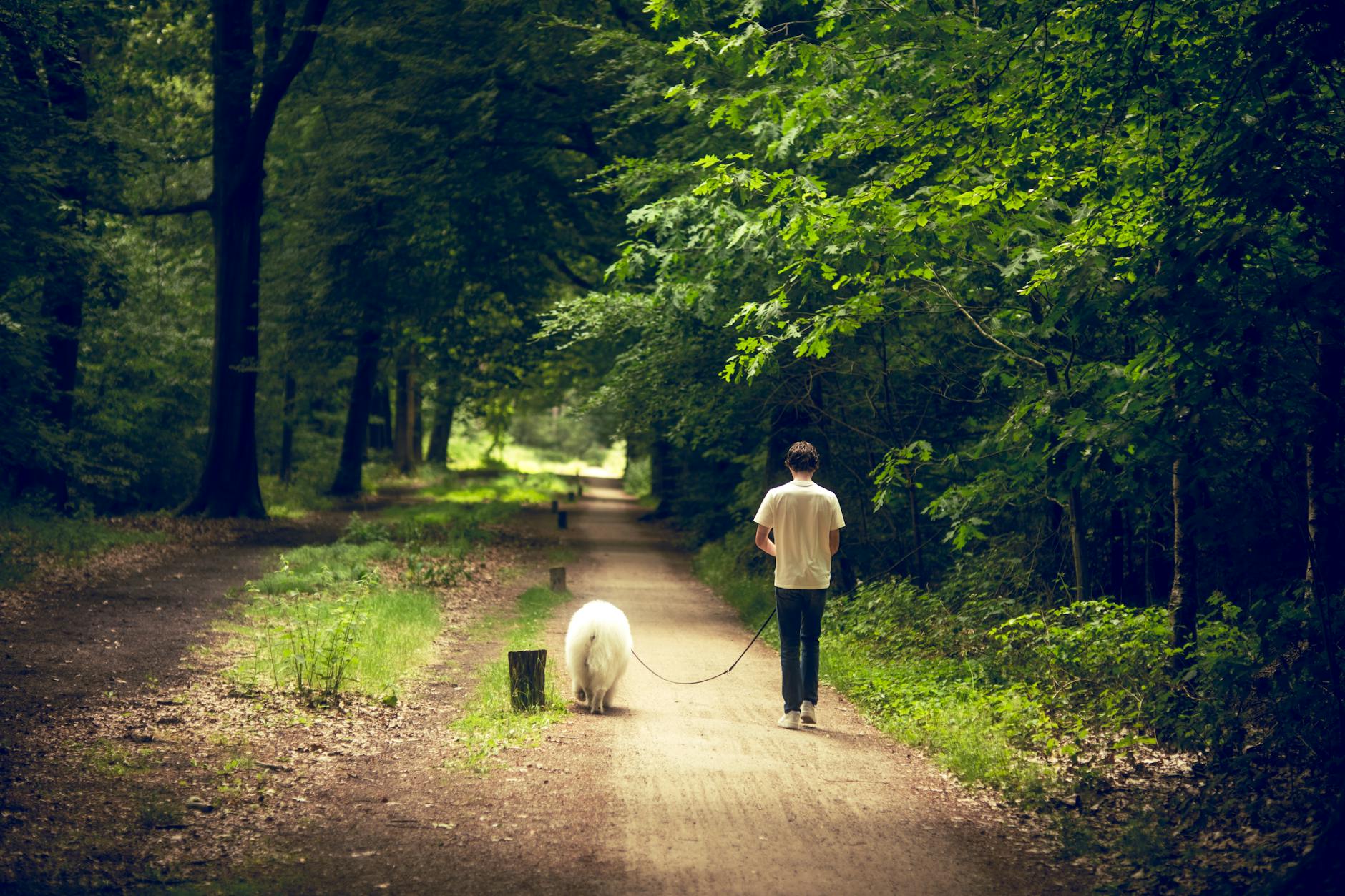
Most easy Vancouver hikes welcome dogs.
On-leash everywhere requirements:
- Stanley Park Seawall
- Lighthouse Park
- Lynn Canyon Park
- Quarry Rock trail
- Bowen Island ferry and trails
Off-leash designated zones:
- Pacific Spirit Park (specific areas)
- Cates Park (designated beach area)
- Burnaby Mountain Park (specific zones)
- Spanish Banks (designated beach area)
Best dog-friendly easy hikes:
- Cates Park (off-leash beach!)
- Spanish Banks (off-leash zone)
- Pacific Spirit Sword Fern Trail (off-leash sections)
- Stanley Park Seawall (well-maintained pet-friendly route)
Dog hiking essentials:
- Leash mandatory in non-off-leash areas
- Pickup bags (mandatory; $100+ fines)
- Water for the dog
- Watch for slippery rocks and roots
- Bear awareness (April-October on North Shore)
- Recall training matters in off-leash areas
Related Vancouver guides
Keep planning with these guides:
Easy Hikes FAQs
What’s the easiest hike near Vancouver?
Stanley Park Seawall (paved, flat) and Camosun Bog Boardwalk (wheelchair-accessible) are the absolute easiest.
Which Vancouver easy hike has the best views?
Quarry Rock (panoramic Indian Arm) and Burnaby Mountain (360° city views) offer the best big-picture views.
Can I do easy Vancouver hikes year-round?
Yes — most easy hikes operate year-round. Some trails (Quarry Rock, Lighthouse Park) are accessible even in light snow.
What should I bring on an easy Vancouver hike?
Sturdy walking shoes, water, snacks, layers, sunscreen, camera, dog gear if applicable.
Are easy Vancouver hikes safe?
Yes — Vancouver is a safe city with well-maintained trail systems. Standard urban precautions apply.
How long is the Stanley Park Seawall?
9 km full loop; 2-3 hours walking pace.
Is Quarry Rock really an “easy” hike?
Easy-moderate. 100m elevation gain over 1.85 km; manageable for casual hikers.
Related reading: Pair this with our Grouse Grind, harder hikes, and outdoor pillar.